One of the most incredible pieces of software developed in the past few years in Google Street View. The notion that you can use your computer to see what a neighborhood looks like is literally magic. What's more, you can virtually drive through the neighborhood, experiencing it like a local.
I mean, a person had to drive a car to take that photo, a machine had to stitch all those photos together and it's now available to you anywhere you can get a decent web connection.
The mind boggles.
What's even more mind boggling to me is that sometimes your linear trip down the street turns into a trip down memory lane. As you seamlessly slide your "drive" from place to place along the street you suddenly find yourself whisked through time. Drivers change, leaves fall off trees - but more interestingly, sometimes entire cityscapes change.
A building disappears and its replacement reappears or you change an angle and suddenly there's a construction site.
This happened to me recently looking at New York's Astor Place.
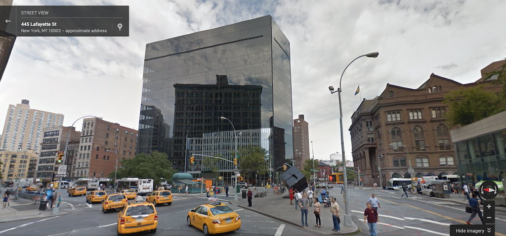
I wanted to see the new building that's going to house IBM's Watson group. Here is it, looking from Astor Place & Lafayette:
 I drove my virtual car across Lafayette so that I could get a closer look:
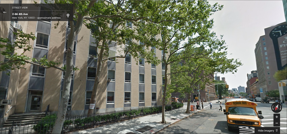
But wait; what building is that? That yellow building wasn't there a second ago...
Let's drive a bit further and look backwards:
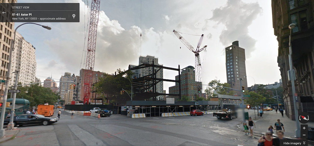 Time has shifted yet again and now we see the building under construction.
On the one hand the techie in me thinks there's nothing interesting here: Google's servers will update their imagery over time and eventually become consistent.
The romantic in me likes to imagine a scenario where the algorithm occasionally burps and historical images begin to appear when you least expect them. 25 years from now you're trying to find a place on the map when suddenly a long-vanished building appears only to disappear when you turn the virtual vehicles view.
Or perhaps there's a new feature that turns Google Maps into a virtual version of Ed Ruscha's All The Buildings on the Sunset Strip.
He's been going back every few years to the strip to update the photos but now Google will have done it globally on a regular basis. You'll literally have a map of all places in the world for regular intervals since 2005.