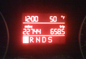
Yesterday I had to drive up to the border to renew my visa. (For technical reasons, you need to apply from outside the country and I'm too cheap to fly). It was one helluva drive: 658.6 miles (or 1,060 km for my metric friends).

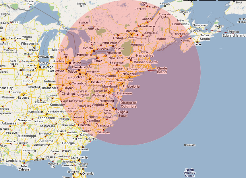
This got me wondering: if I had only gone one way, where could I have made it to? Fortunately, the interpipes are here to answer this.
According to Google Maps, I wouldn't have made Chicago, but would be in Fort Wayne right now. I would have blown past Detroit and gone all the way to Flint. If I was feeling Appalachian, I could have almost made it Knoxville, Tennessee. If I'd wanted a some Southern comfort, I could have gone down to Myrtle Beach.
Alternatively, I could have headed north to North Bay or Jonquiere (where, I've been told by my bro, the cheapest house in Canada is available for $4,000 - caveat emptor). Alternatively, I could be on the Bay of Fundy today, feasting on fish & chips.
Here's the rough map:

Here are a few random things I learned on the trip:
- If you turn on the maps on your iPhone and drive fast you can actually see your location move. I do not condone this and only found out by accident. Definitely do not try this and claim you heard it from me.
- The Customs Service only got the new photos of Barack Obama about three weeks ago; they're still waiting for a Biden (next time you're at the border, glance behind the agents - there are always photos of the President & VP plus possibly a cameo by the Secretary of Homeland Security). However, they don't show a Cheney in his place; it's a vacant frame waiting to be filled.
- Hitting blinding rain just outside the city after thirteen hours in a car is not fun.