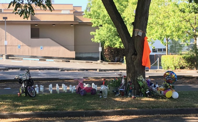
The corner of 37th & Oregon is about a 15 minute walk from my house in Columbia City. Last week it was a candidate for the ignominious title of most dangerous place in America. On July 9th, a person was fatally shot there: 5 days later on July 14th, a second person was fatally shot visiting… Continue reading Analyzing Violence in South Seattle
Tag: gis
Finding Nearby Things in QGIS (Tutorial)
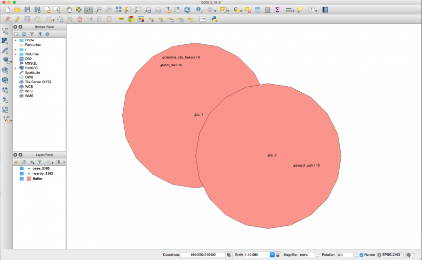
If you get excited by maps and places, here’s a reasonably common problem: I’ve got a set of locations (e.g., landmarks) I’ve got another set of locations (e.g., points of interest) and those points have additional metadata (e.g., a star rating for each place) I’d like to find all the points of interest with at… Continue reading Finding Nearby Things in QGIS (Tutorial)
Mapping the City
I went to the Conflux Festival on Saturday morning and attended a talk by Matt Knutzen entitled Rebuilding the Historical City. Matt’s a cartographer working at the NYPL and he was explaining a new tool they’ve built – and the Very Big Idea behind the tool. The NYPL has over 60,000 maps of NYC in… Continue reading Mapping the City

